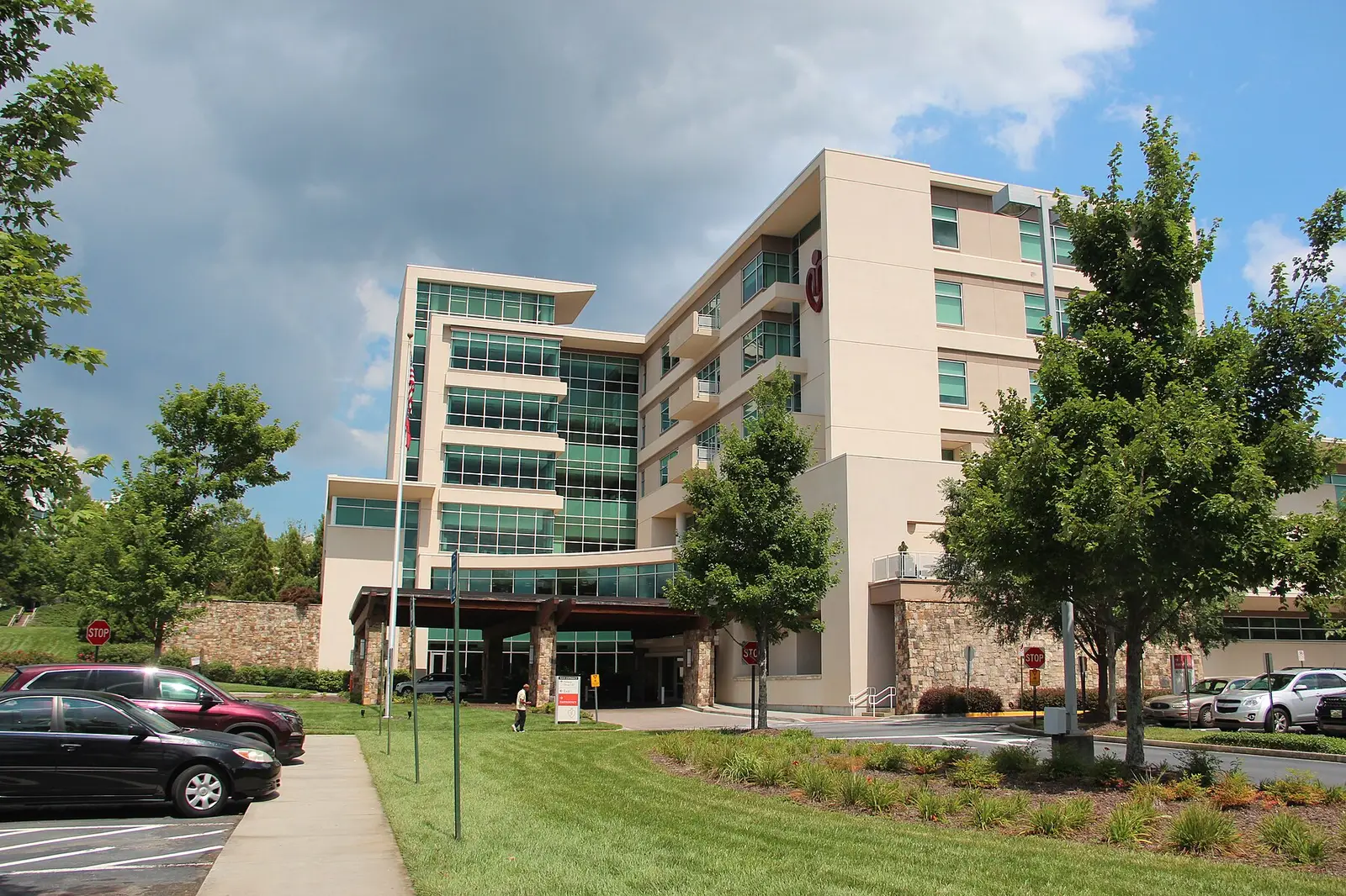
Duluth's apartment corridor and Medical District on Pleasant Hill Road and PIB: ZIP 30096, zoned for Duluth High, $408,260 typical home value in August 2026.
Last checked Oct. 6, 2026. Sources: the City of Duluth’s Plan 2040 comprehensive plan (PDF), Character Area Map (PDF) and GIS layers, Gwinnett County Public Schools zone map data, the state’s 2025 School Grades data, Zillow Research, Gwinnett County and OpenStreetMap.
Where Pleasant Hill Road crosses Peachtree Industrial Boulevard is Duluth’s biggest cluster of apartments and its hospital district. The city’s plan calls the apartment side the Existing Urban Neighborhoods, “a high quality multi-family corridor,” and the hospital side the Medical Triangle District. About seven in 10 of the area’s homes are apartments, all in ZIP 30096 and all zoned for Duluth High.
What this means for you
- Zoned high school: Duluth High for every home address. Check yours with the GCPS school locator.
- Home value: $408,260 in ZIP 30096 in August 2026, according to the Zillow Home Value Index.
- Nearest interstate exit: I-85 exit 104, Pleasant Hill Road, about 4.5 miles by road.
Part of our Duluth neighborhoods guide.
Where it is
The area is about 1.6 square miles in the west of the city, on both sides of Peachtree Industrial Boulevard (Georgia 141). Pleasant Hill Road crosses it from east to west, and Howell Ferry Road, Summit Ridge Parkway and McClure Bridge Road are the other main roads. The Howell Ferry Road houses are to the west and the core neighborhoods around downtown to the east. Every home address is in ZIP code 30096.
The Plan 2040 comprehensive plan says the apartments here are mostly garden-style complexes “developed during the late 1980s and 1990s” and expects density to rise as they are rebuilt, with mixed-use “neighborhood marketplaces” at key intersections. It places the Medical Triangle at the Howell Ferry Road and Pleasant Hill Road intersection, “anchored by the Gwinnett Medical-Duluth Campus,” with medical offices on Duluth Park Lane and McClure Bridge Road and the post office at McClure Bridge Road and Postal Drive. It also names the 110-acre “Hudgens’ Property” in the district as a site for a future mixed-use plan.
Homes
Gwinnett County’s address data counts about 3,120 apartments and 280 condos here, and the city’s parcel records about 650 townhomes and 390 houses. The city’s development layer names these communities:
- Apartments: Rosemont Berkeley Lake, Montrose Berkeley Lake, MAA Berkeley Lake, MAA River Place, MAA River Oaks, The Crest at Berkeley Lake, The Atlantic at Howell Station, Woodmere Trace, Berkeley Landing and The Foundry.
- Condos and townhomes: Berkeley Woods and Hampton Arbors condominiums; Woodhaven at Chattahoochee Crossing, Charleston Bay and Berkeley Crossing townhomes.
- Houses: Grovepark, Chattahoochee Hills and Palisades, off Pleasant Hill Road, which the city maps as Established Neighborhoods.
- Senior living: Peachtree Christian Health.
Schools
How this area’s home addresses split in Gwinnett County Public Schools’ zone layers, updated in August 2026. Scores are 2025 College and Career Ready Performance Index (CCRPI) figures from the state’s School Grades report.
| Level | School | Share of homes | 2025 CCRPI |
|---|---|---|---|
| High | Duluth High (report card) | 100% | 70.0 |
| Middle | Coleman Middle (report card) | 76% | 91.4 |
| Middle | Duluth Middle (report card) | 24% | 72.3 |
| Elementary | Chattahoochee Elementary (report card) | 76% | 82.0 |
| Elementary | Berkeley Lake Elementary (report card) | 24% | 78.0 |
Elementary and middle zones go together here: Chattahoochee Elementary feeds Coleman Middle and Berkeley Lake Elementary feeds Duluth Middle. Chattahoochee Elementary is at 2930 Albion Farm Road, Berkeley Lake Elementary at 4300 S. Berkeley Lake Road and Duluth High at 3737 Brock Road. The state average was 78.0 and Gwinnett County Public Schools scored 81.5. Apartment complexes can sit on a zone line, so check the exact address in the GCPS school locator. More in our schools guide.
Home values
The typical home value in ZIP 30096 was $408,260 in August 2026, down 2.1% from $416,920 in August 2025, according to the Zillow Home Value Index. The index is a modeled typical value for the middle third of homes, not a sale price, and it covers owned homes across a ZIP code that reaches well outside the city; it is not a rent figure. The citywide Duluth figure was $437,770, down 2.5% on the year. More in our home prices guide.
Parks and trails
- W.P. Jones Park, Pleasant Hill Road: 20.68 acres with a community center, four tennis courts, a playground, a picnic shelter and soft-surface trails, according to the city’s parks list. The city says activities at the park’s lodge have moved to Bunten Road Park.
- Scott Hudgens Park, River Green Parkway, just north of the area: 47.7 acres with four soccer fields.
- The Western Gwinnett Bikeway, the 10-foot-wide multi-use trail along Peachtree Industrial Boulevard, which the plan says “already extends throughout the district.”
More in our parks and trails guide.
Getting around
- Interstate: I-85 exit 104, Pleasant Hill Road, about 4.5 miles by road.
- Downtown: about 1.5 miles from the middle of the area to the Town Green.
- Airport: about 34.8 miles to Hartsfield-Jackson Atlanta International Airport.
- All are distances measured on the OpenStreetMap road network with the OSRM routing engine, not drive times.
- Bus: no Ride Gwinnett local route runs through the area. The nearest Route 10B stops are a little over half a mile south, in the North Berkeley area, according to Gwinnett County’s transit stop data; see the routes and schedules page.
More in our getting around guide.
Groceries and everyday stores
From OpenStreetMap:
- Kroger, 3455 Peachtree Industrial Boulevard, inside the area
- CVS Pharmacy, 4110 Pleasant Hill Road, inside the area
- Publix, 3870 Peachtree Industrial Boulevard, just south
- Whole Foods Market, 5945 State Bridge Road, across the river in Johns Creek
How we drew this area
This area joins the Existing Urban Neighborhoods and Medical Triangle polygons in the city’s own character area GIS layer with the Established Neighborhoods piece on Pleasant Hill Road and a small Peachtree Retail Corridor parcel group. Home counts and school shares come from every house and townhome parcel in the city’s parcel layer and every apartment and condo address point in Gwinnett County’s address data inside it, matched to the district’s zone layers on Oct. 6, 2026. Store and park locations are © OpenStreetMap contributors.
Frequently asked questions
Where are the apartments in Duluth, Georgia?
The largest group is along Peachtree Industrial Boulevard and Pleasant Hill Road, which the city’s plan calls its Existing Urban Neighborhoods. About 3,100 of the area’s 4,400 home addresses are apartments, according to Gwinnett County’s address data.
What schools serve the apartments on Pleasant Hill Road in Duluth?
Duluth High for every home. In Gwinnett County Public Schools’ 2026 zone map, about 76% of home addresses here go to Chattahoochee Elementary and Coleman Middle and 24% to Berkeley Lake Elementary and Duluth Middle.
Is Pleasant Hill Road in Duluth a good place to live?
Here are the facts. The area is mostly apartment communities built around Peachtree Industrial Boulevard, with townhomes, three single-family subdivisions and the city’s Medical District. It is zoned for Duluth High, which scored 70.0 on the state’s 2025 CCRPI, and Zillow put the typical home value in ZIP 30096 at $408,260 in August 2026.
Which I-85 exit is closest to Pleasant Hill Road in Duluth?
Exit 104, Pleasant Hill Road, about 4.5 miles by road from the middle of the area, measured on the OpenStreetMap road network.
Have your say