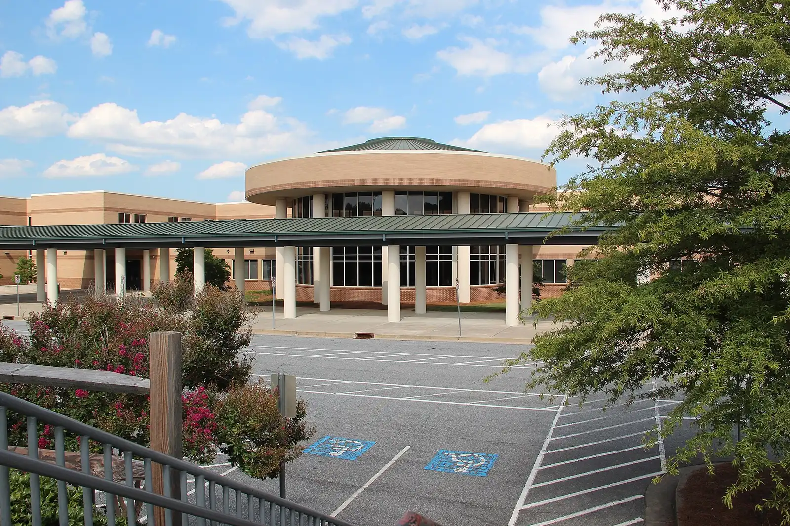
Duluth's Sugarloaf area at Peachtree Industrial and Sugarloaf Parkway: apartments, townhomes and houses split between Peachtree Ridge and Duluth High zones.
Last checked Oct. 6, 2026. Sources: the City of Duluth’s Plan 2040 comprehensive plan (PDF), Character Area Map (PDF) and GIS layers, Gwinnett County Public Schools zone map data, the state’s 2025 School Grades data, Zillow Research, Gwinnett County and OpenStreetMap.
At Duluth’s northeast end, where Peachtree Industrial Boulevard meets Sugarloaf Parkway, the city’s plan draws its Sugarloaf Activity District: “a connected, yet self-sufficient, activity center consisting of retail, office and a variety of residential types serving as a northern gateway into the City.” Around it are the townhome and single-family communities of Sugarloaf Ridge and Lakes at Sugarloaf. Homes here are split between the Peachtree Ridge and Duluth High zones.
What this means for you
- Zoned high school: Peachtree Ridge High for 59% of home addresses, Duluth High for 41%. Check yours with the GCPS school locator.
- Home value: $710,739 in ZIP 30097 in August 2026, according to the Zillow Home Value Index.
- Nearest interstate exit: I-85 exit 109, Old Peachtree Road, about 4.1 miles by road.
Part of our Duluth neighborhoods guide.
Where it is
The area is about two-thirds of a square mile on the city’s Character Area Map, reaching northeast along Peachtree Industrial Boulevard (Georgia 141) toward Suwanee. Sugarloaf Parkway, Buford Highway (U.S. 23), Old Peachtree Road and Main Street run through it. The Plan 2040 comprehensive plan puts the activity district “at and around the P.I.B. and Sugarloaf intersection,” with the Norfolk Southern Railroad as its southern border; we add the Established Neighborhoods and Buford Highway North Corridor pieces beside it. 86% of home addresses are in ZIP code 30097 and 14% in 30024.
The plan says the district “has experienced great success since the completion of the Sugarloaf Market mixed-use development in 2016.” It planned a mixed-use project with retail, offices and age-restricted apartments on a 15-acre parcel at Main Street and Peachtree Industrial Boulevard and a townhome community on 4.5 acres at the bend in Main Street, and it lists finishing the Main Street Trail and a safer crosswalk on the boulevard among its aims. It wants new buildings “fronting tree-lined streets with parking-in-the-back.”
Homes
Gwinnett County’s address data counts about 510 apartments here, and the city’s parcel records about 470 houses and 390 townhomes. The city’s development layer names Sugarloaf Ridge (houses and townhomes, about 350 parcels), Lakes at Sugarloaf, Baxley Ridge and Highlands at Duluth; The Glens at Sugarloaf and Greysolon townhomes; and the 2370 Main at Sugarloaf apartments. The county’s address data also lists Annabelle on Main. The plan names the Heights at Sugarloaf apartments here.
Schools
How this area’s home addresses split in Gwinnett County Public Schools’ zone layers, updated in August 2026. Scores are 2025 College and Career Ready Performance Index (CCRPI) figures from the state’s School Grades report.
| Level | School | Share of homes | 2025 CCRPI |
|---|---|---|---|
| High | Peachtree Ridge High (report card) | 59% | 77.7 |
| High | Duluth High (report card) | 41% | 70.0 |
| Middle | Hull Middle (report card) | 59% | 93.1 |
| Middle | Coleman Middle (report card) | 41% | 91.4 |
| Elementary | Chattahoochee Elementary (report card) | 41% | 82.0 |
| Elementary | Parsons Elementary (report card) | 39% | 93.7 |
| Elementary | Mason Elementary (report card) | 13% | 77.2 |
| Elementary | Burnette Elementary (report card) | 7% | 91.2 |
This is the most divided area in the city. In the district’s zone layers, the 2370 Main at Sugarloaf apartments, Annabelle on Main and the Greysolon townhomes are in the Chattahoochee Elementary, Coleman Middle and Duluth High zones. Sugarloaf Ridge, Baxley Ridge and Highlands at Duluth go to Parsons Elementary, Lakes at Sugarloaf to Mason Elementary and The Glens at Sugarloaf to Burnette Elementary, all then to Hull Middle and Peachtree Ridge High. Parsons Elementary is at 1615 Old Peachtree Road and Peachtree Ridge High at 1555 Old Peachtree Road, both in Suwanee; Hull Middle is at 1950 Old Peachtree Road. The state average was 78.0 and Gwinnett County Public Schools scored 81.5. Check one address in the GCPS school locator. More in our schools guide.
Home values
The typical home value in ZIP 30097 was $710,739 in August 2026, down 0.4% from $713,339 in August 2025, according to the Zillow Home Value Index. In ZIP 30024, which Zillow files under Suwanee, it was $602,886, down 2.4% from $617,597. The index is a modeled typical value for the middle third of homes, not a sale price, and both ZIP codes reach well beyond this area. The citywide Duluth figure was $437,770, down 2.5% on the year. More in our home prices guide.
Parks and trails
- Suwanee Creek unit of the Chattahoochee River National Recreation Area, run by the National Park Service, about half a mile northwest, according to OpenStreetMap.
- Rogers Bridge Park, 4291 Rogers Bridge Road, the city’s river park, in the river side area to the west.
- The Western Gwinnett Bikeway along Peachtree Industrial Boulevard.
More in our parks and trails guide.
Getting around
- Interstate: I-85 exit 109, Old Peachtree Road, about 4.1 miles by road, or exit 108, Sugarloaf Parkway, about 4.2 miles.
- Downtown: about 2.6 miles from the middle of the area to the Town Green.
- Airport: about 39.1 miles to Hartsfield-Jackson Atlanta International Airport, the farthest of any area in our guide.
- All are distances measured on the OpenStreetMap road network with the OSRM routing engine, not drive times.
- Bus: no Ride Gwinnett local route runs through the area. The nearest stops, on routes 10A and 10B on Satellite Boulevard, are almost 2 miles south, according to Gwinnett County’s transit stop data; see the routes and schedules page.
More in our getting around guide.
Groceries and everyday stores
From OpenStreetMap:
- Lidl, 2985 Peachtree Industrial Boulevard, at the area’s west end
- The Fresh Market, 1500 Peachtree Industrial Boulevard, just northeast in Suwanee
- Publix, 2750 Buford Highway, about a third of a mile southwest
How we drew this area
This area joins the Sugarloaf Activity District polygons in the city’s own character area GIS layer with the two northeastern Established Neighborhoods polygons and the Buford Highway North Corridor piece beside them. Home counts and school shares come from every house and townhome parcel in the city’s parcel layer and every apartment and condo address point in Gwinnett County’s address data inside it, matched to the district’s zone layers on Oct. 6, 2026. Store and park locations are © OpenStreetMap contributors.
Frequently asked questions
What high school serves Sugarloaf in Duluth?
It depends on the community. In Gwinnett County Public Schools’ 2026 zone map, 59% of home addresses here, including Sugarloaf Ridge, Lakes at Sugarloaf, The Glens at Sugarloaf, Baxley Ridge and Highlands at Duluth, are zoned for Peachtree Ridge High; 41%, mostly apartments on Main Street, for Duluth High.
What ZIP code is Sugarloaf in Duluth?
Mostly 30097. In the city’s parcel data and Gwinnett County’s address points, 86% of home addresses here are in 30097 and 14%, at the northeast end, in 30024, a ZIP code Zillow files under Suwanee.
Is the Sugarloaf area of Duluth a good place to live?
Here are the facts. The area mixes apartments, townhomes and single-family houses around the Sugarloaf Market development, with most homes zoned for Peachtree Ridge High, which scored 77.7 on the state’s 2025 CCRPI. Zillow put the typical home value in ZIP 30097 at $710,739 in August 2026.
How far is Sugarloaf in Duluth from I-85?
About 4.1 miles by road to I-85 exit 109, Old Peachtree Road, and 4.2 miles to exit 108, Sugarloaf Parkway, measured on the OpenStreetMap road network.
Have your say