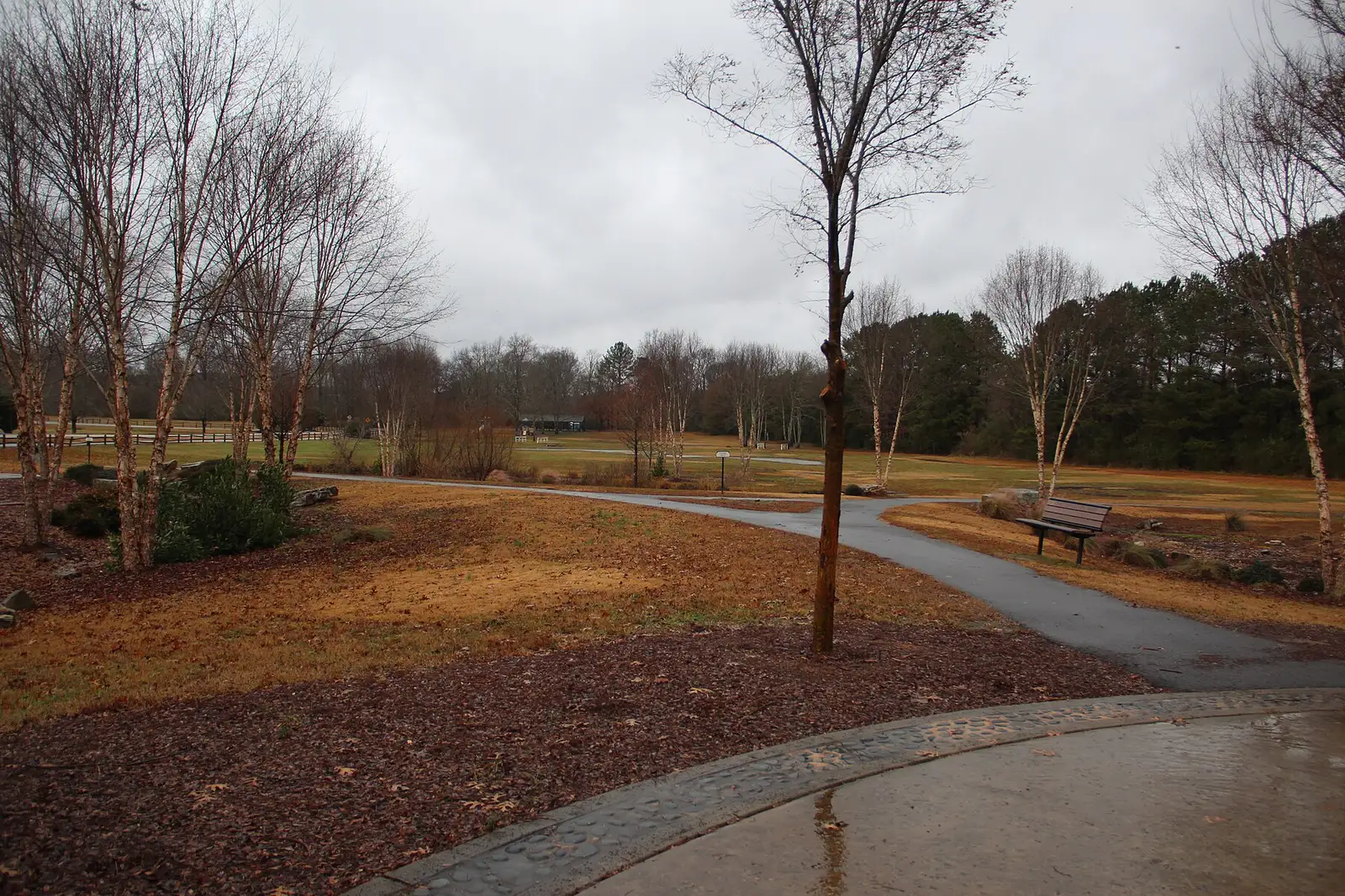
Duluth's river side, between Peachtree Industrial Boulevard and the Chattahoochee: ZIP 30097, zoned for Duluth High, $710,739 typical home value in August 2026.
Last checked Oct. 6, 2026. Sources: the City of Duluth’s Plan 2040 comprehensive plan (PDF), Character Area Map (PDF) and GIS layers, Gwinnett County Public Schools zone map data, the state’s 2025 School Grades data, Zillow Research, Gwinnett County, the National Park Service and OpenStreetMap.
North of Peachtree Industrial Boulevard, Duluth runs down to the Chattahoochee River, which is the city’s northern edge and the line with Johns Creek. Most of this land is the city’s Chattahoochee Residential District, which its plan calls “the City’s premier residential district for large lot, executive style homes,” and the rest is the River Green business park. Every home here is in ZIP code 30097 and zoned for Duluth High.
What this means for you
- Zoned high school: Duluth High, with Chattahoochee Elementary and Coleman Middle, for every home address. Check yours with the GCPS school locator.
- Home value: $710,739 in ZIP 30097 in August 2026, according to the Zillow Home Value Index.
- Nearest interstate exit: I-85 exit 109, Old Peachtree Road, about 5.3 miles by road.
Part of our Duluth neighborhoods guide.
Where it is
The Plan 2040 comprehensive plan places the residential district “between Peachtree Industrial Boulevard and the Chattahoochee River.” Abbotts Bridge Road (Georgia 120) crosses the west side to the river bridge into Johns Creek, and Rogers Bridge Road runs north to Rogers Bridge Park. The River Green business park, which the plan calls “the City’s major employment district,” is on the west side, along River Green Parkway and Abbotts Bridge Road. The area covers about 1.7 square miles on the city’s Character Area Map.
The plan says the district should “remain single family in nature” with houses and townhomes, that “apartments are inappropriate and should be prohibited” here, and that new homes nearest the river should be on larger lots, with density rising toward the boulevard. It notes that the golf course land in the district lies inside the 2,000-foot Metropolitan River Protection corridor, which limits paved surfaces, and that the “Milam Property” on Rogers Bridge Road was rezoned in 2015 for 77 homes.
Homes
The city’s parcel records count about 1,110 houses and 360 townhomes here. Its development layer names Encore (about 460 parcels, houses and townhomes), Chattahoochee Reserve, Castlemaine, The Overlook, Windsor Court, Rivers Edge at Abbotts Bridge, Abbotts Pointe and River North, the Chattahoochee Cove townhomes and the Parc at Duluth senior community. The plan names Castlemaine, north of the boulevard, as an example of the larger homes it wants in the district.
Schools
How this area’s home addresses split in Gwinnett County Public Schools’ zone layers, updated in August 2026. Scores are 2025 College and Career Ready Performance Index (CCRPI) figures from the state’s School Grades report.
| Level | School | Share of homes | 2025 CCRPI |
|---|---|---|---|
| High | Duluth High (report card) | 100% | 70.0 |
| Middle | Coleman Middle (report card) | 100% | 91.4 |
| Elementary | Chattahoochee Elementary (report card) | 100% | 82.0 |
Chattahoochee Elementary is at 2930 Albion Farm Road, just south of the boulevard. The state average was 78.0 and Gwinnett County Public Schools scored 81.5. In River Green, the city’s schools list includes New Life Academy of Excellence, a charter school at 4725 River Green Parkway, and Notre Dame Academy, a private school at 4635 River Green Parkway. Check any address in the GCPS school locator. More in our schools guide.
Home values
The typical home value in ZIP 30097 was $710,739 in August 2026, down 0.4% from $713,339 in August 2025, according to the Zillow Home Value Index. The index is a modeled typical value for the middle third of homes, not a sale price, and 30097 also takes in northern Duluth south of the boulevard and land outside the city. The citywide Duluth figure was $437,770, down 2.5% on the year. More in our home prices guide.
Parks and trails
- Rogers Bridge Park, 4291 Rogers Bridge Road: 24 acres on the river with a canoe launch, pavilion, playground and the rebuilt pedestrian bridge to Johns Creek, according to the city’s parks list.
- Chattapoochee Dog Park, in Rogers Bridge Park, with separate large-dog and small-dog areas.
- Scott Hudgens Park, River Green Parkway: 47.7 acres with four soccer fields, run by the Atlanta Fire United Soccer Association, according to the city.
- Abbotts Bridge unit of the Chattahoochee River National Recreation Area, run by the National Park Service, on the river at Abbotts Bridge Road, according to OpenStreetMap.
- The Western Gwinnett Bikeway along Peachtree Industrial Boulevard, the area’s southern edge.
More in our parks and trails guide.
Getting around
- Interstate: I-85 exit 109, Old Peachtree Road, about 5.3 miles by road, or exit 108, Sugarloaf Parkway, about 5.4 miles.
- Downtown: about 2.5 miles from the middle of the area to the Town Green.
- Airport: about 37.3 miles to Hartsfield-Jackson Atlanta International Airport.
- All are distances measured on the OpenStreetMap road network with the OSRM routing engine, not drive times.
- Bus: no Ride Gwinnett local route runs north of the boulevard; the nearest stops are in the south of the city, according to Gwinnett County’s transit stop data. See the routes and schedules page.
More in our getting around guide.
Groceries and everyday stores
From OpenStreetMap, the nearest are just outside the area:
- Lidl, 2985 Peachtree Industrial Boulevard
- Whole Foods Market, 5945 State Bridge Road, across the river in Johns Creek
- Kroger, 3455 Peachtree Industrial Boulevard
How we drew this area
This area is the two northern Chattahoochee Residential District polygons and the River Green Employment District polygon in the city’s own character area GIS layer. Home counts and school shares come from every house and townhome parcel in the city’s parcel layer and every apartment and condo address point in Gwinnett County’s address data inside it, matched to the district’s zone layers on Oct. 6, 2026. Store and park locations are © OpenStreetMap contributors.
Frequently asked questions
What part of Duluth is on the Chattahoochee River?
The city’s Chattahoochee Residential District and the River Green business park, the land between Peachtree Industrial Boulevard and the river along Abbotts Bridge Road and Rogers Bridge Road. All of it is in ZIP code 30097.
What schools serve Duluth homes near the Chattahoochee River?
Chattahoochee Elementary, Coleman Middle and Duluth High. Every home address in this area is zoned for those three schools in Gwinnett County Public Schools’ 2026 zone map.
Is the Chattahoochee River side of Duluth a good place to live?
Here are the facts. The area is mostly single-family subdivisions and townhomes, with Rogers Bridge Park and a National Park Service river unit inside it. It is zoned for Duluth High, which scored 70.0 on the state’s 2025 CCRPI, and Zillow put the typical home value in ZIP 30097 at $710,739 in August 2026.
Are apartments allowed near the river in Duluth?
The city’s Plan 2040 says apartments are inappropriate and should be prohibited in the Chattahoochee Residential District, which should stay single-family homes and townhomes.
Have your say